The latest National Weather Service Wilmington Office briefing indicates that the storm will weaken as it lifts away to the northwest tonight into Tuesday. The wind impacts will begin to diminish tonight. Rain chances will decrease later today into tonight and Tuesday morning. There is a slight risk for tornadoes this evening (tornado safety guidance HERE). High rip current risk will likely persist for a few days, always know the beach forecast before you go.
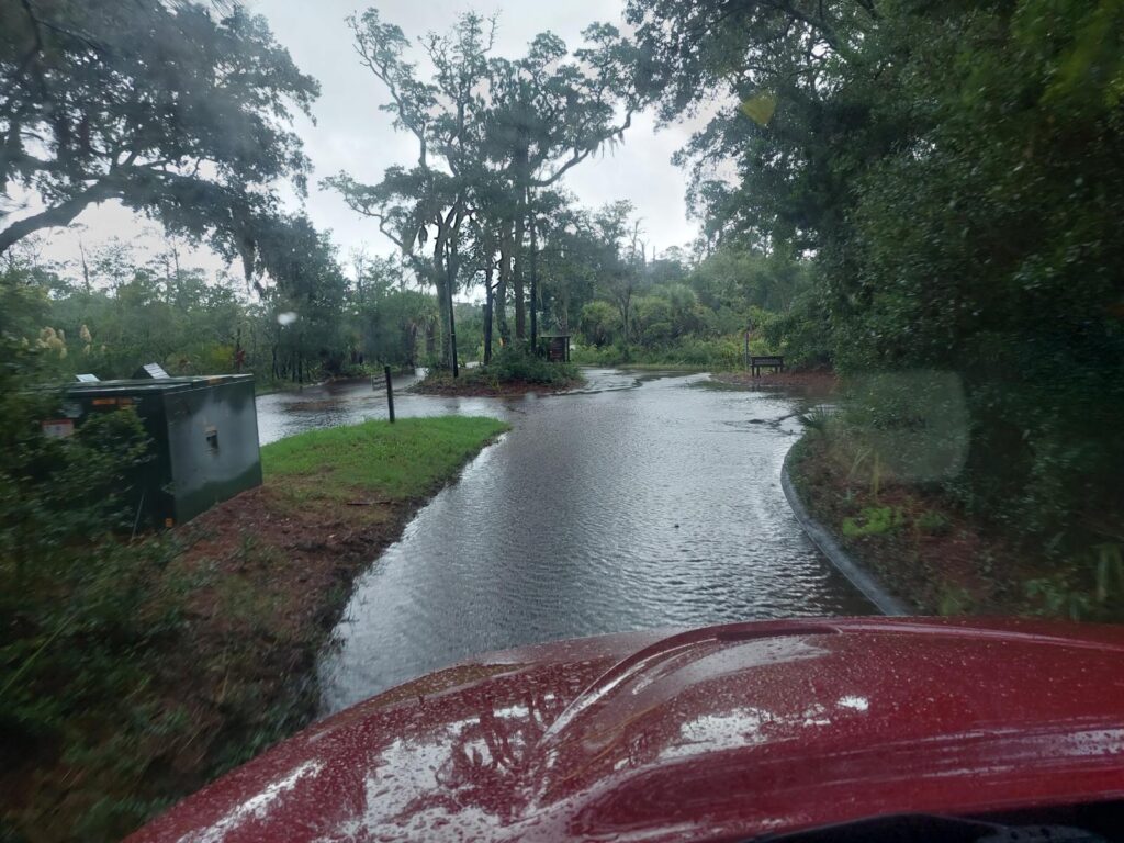
Currently, all of the Village’s main roads are considered impassable, and we are encouraging folks to stay off the roads and out of flood water. BHI Transportation, Inc. was able to make a ferry run from the island at 1:00 p.m. This was likely the last run of the day since the winds have picked up. Due to road flooding, tram service is also suspended. Continue to check the Bald Head Island Transportation, Inc. app and website for the latest updates.
Most Village employees, except for Public Safety and essential Utilities staff departed on the 1:00 p.m. ferry. Public Services will be on the island tomorrow to assess the condition of public infrastructure, buildings, streets, and right of ways and will begin post-storm cleanup and recovery. Village offices, including the Island Package Center and Post Office, are expected to open on time tomorrow. The barge did not make a run today and mail did not make it to the island. Check the status of your packages online HERE.